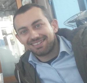
 Philip Fayad is a GIS and Earth Observation Specialist. In the past, Philip has worked as a Research Associate (GIS Specialist) at Electricity Authority of Cyprus and as a Trainee GIS Analyst at Marathon Data Systems (the official distributor of ESRI’s products in Greece, Cyprus – ArcInfo, ArcView, ArcGIS, ArcMap, ArcGIS Server). He holds a bachelor’s degree in Surveying Engineering and an MSc in Geoinformatics, both with honors (aristeio) from Cyprus University of Technology. For his MSc studies he received a full scholarship from the university and from the Cyprus State Scholarships Institution (IKYK).
Currently, he is a PhD Candidate in the field of “Epidemiological Monitoring with the Use of Geoinformatics” at the Department of Civil Engineering and Geomatics (CEG) of Cyprus University of Technology (CUT), under the supervision of Professor Phaedon Kyriakidis. For his PhD studies, Mr. Fayad has received a scholarship grant from the Sylvia Ioannou Charitable Foundation (2021-2022) and he is also among the recipients of the Cyprus State Scholarships Institution (IKYK) for 2020-2023.
His main research interests focus in Geoinformatics, Geostatistics, Spatial Analysis, Remote Sensing and Geographic Information Systems (GIS) towards spatial problem solving. Additionally, by being involved in many awareness activities, workshops and events (NASA Space Apps Challenge, TEDx, and more) he is described as a Science and Technology enthusiast and an environmentally concerned individual. He is a member of the Technical Chamber of Cyprus (ETEK), the “Eratosthenes” Centre of Excellence and the Geospatial Analytics Lab.
LinkedIn: https://www.linkedin.com/in/philipfayad/